Lake Maps · Muskoka
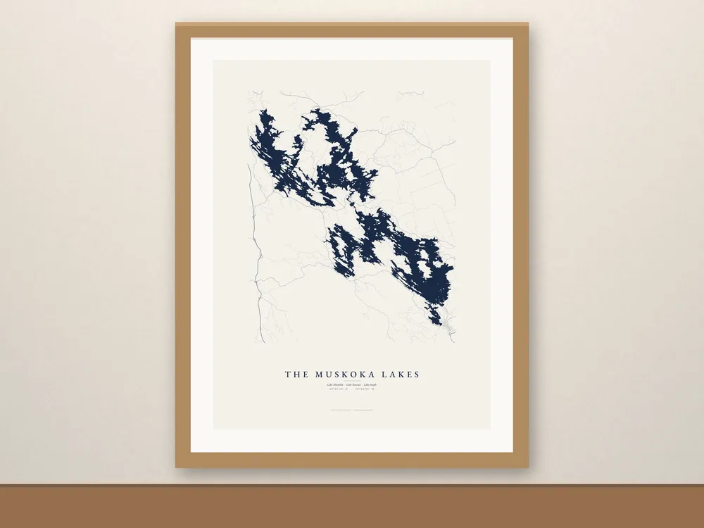
The Muskoka Lakes Map
C$49 CAD
Lake Joseph, Lake Rosseau and Lake Muskoka on one print, from real shoreline data, joined where they meet: the cut at Port Sandfield and the locks at Port Carling.
- Free shipping in Canada, with tracking. Canada only for now.
- Made to order just for you.
About this map
Lake Joseph, Lake Rosseau and Lake Muskoka on one print, from real shoreline data, joined where they meet: the cut at Port Sandfield and the locks at Port Carling.
A good pick when the family has a place on one lake and the in-laws are on another. With roads adds Highway 118, Muskoka Road 169, Highway 141 and the cottage roads around all three.
Details
- Enhanced matte paper, 189 gsm (10.3 mil), fade-resistant inks
- Lake name set in EB Garamond, with the lake’s coordinates (45°05′53″ N · 79°33′54″ W)
- Unframed. Fits standard 12x16, 18x24 and 24x36 frames; frames in the photos are for display only.
- Ships rolled in a sturdy tube
Care
Keep it out of direct sun and damp, and frame it behind glass or acrylic.
Shipping
- Free shipping in Canada, with tracking.
- Made to order: allow 2–5 business days for production, then usually 2–7 business days in transit.
- We ship within Canada only for now.
About the photos
Room scenes are mockups; map artwork is ours.
Map data © OpenStreetMap contributors, available under the Open Database License (openstreetmap.org/copyright).