Lake Maps · Muskoka
Lake Muskoka Map
C$49 CAD
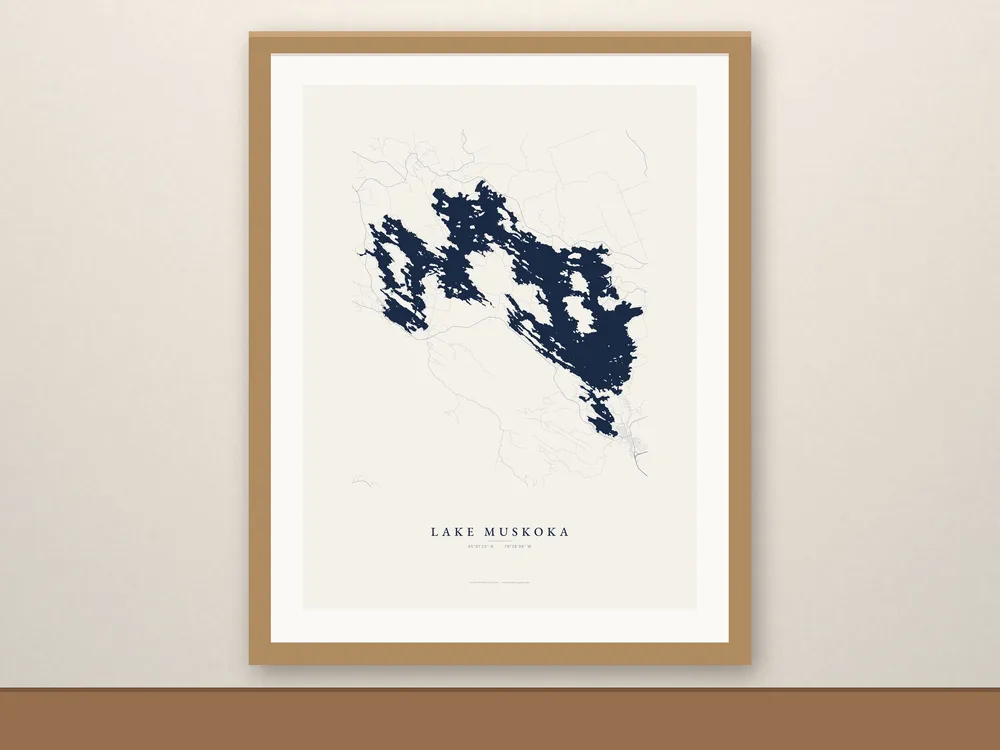
A Lake Muskoka map print from real shoreline data, every island in place, from Bala on the west shore to Gravenhurst at the south end, with Beaumaris and the islands in between.
- Free shipping in Canada, with tracking. Canada only for now.
- Made to order just for you.
About this map
A Lake Muskoka map print from real shoreline data, every island in place, from Bala on the west shore to Gravenhurst at the south end, with Beaumaris and the islands in between.
With roads adds Muskoka Road 169, Highway 118 and the cottage roads and lanes around the shore.
Details
- Enhanced matte paper, 189 gsm (10.3 mil), fade-resistant inks
- Lake name set in EB Garamond, with the lake’s coordinates (45°01′25″ N · 79°28′39″ W)
- Unframed. Fits standard 12x16, 18x24 and 24x36 frames; frames in the photos are for display only.
- Ships rolled in a sturdy tube
Care
Keep it out of direct sun and damp, and frame it behind glass or acrylic.
Shipping
- Free shipping in Canada, with tracking.
- Made to order: allow 2–5 business days for production, then usually 2–7 business days in transit.
- We ship within Canada only for now.
About the photos
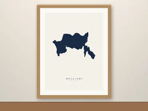
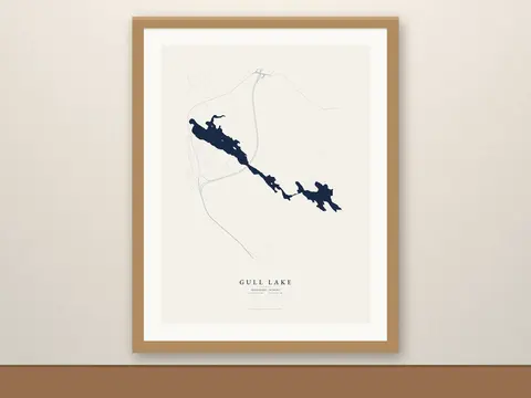
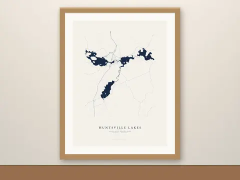
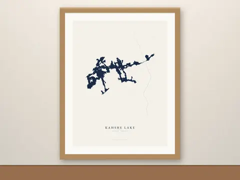
Room scenes are mockups; map artwork is ours.
Map data © OpenStreetMap contributors, available under the Open Database License (openstreetmap.org/copyright).